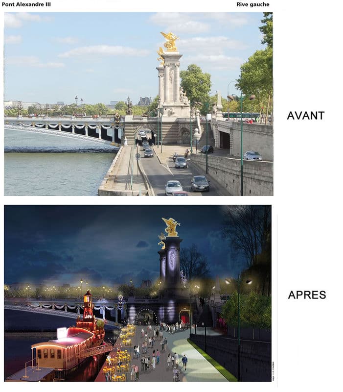
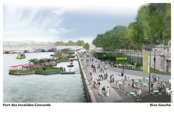
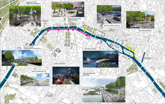
Here’s what that means in practice: more than 2 km of the Left Bank will be closed to cars, from Solferino to l’Alma. On the Right Bank, that “urban highway” will become a modern, well-designed Parisian boulevard with traffic lights, where people walking, biking, and driving will share the space
More specifically…
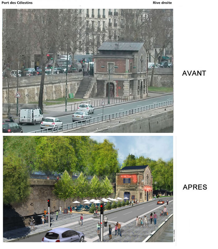
Redesigning the lower quays on the Right Bank
The Right Bank quay will be revamped to slow traffic by installing at least five traffic lights between the pont d’Iéna and the pont Sully, narrowing the roadways, and redesigning the public space. That’ll make it easier to get to the riverbanks and help Parisians reclaim them;
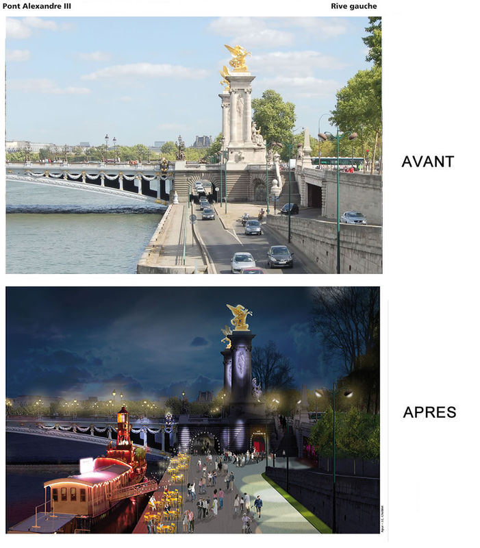
Closing the lower Left Bank quay to traffic
Between the Musée d’Orsay and the pont de l’Alma, making room for activities that are here to stay and open to everyone.
A few illustrations…
Right Bank…
Left Bank…
And a map showing all the spots affected…
So, what do you think? A sort of permanent Paris Plage on the Left Bank, a way to give the riverbanks back to pedestrians on the Right Bank… Useful? Pointless and expensive?